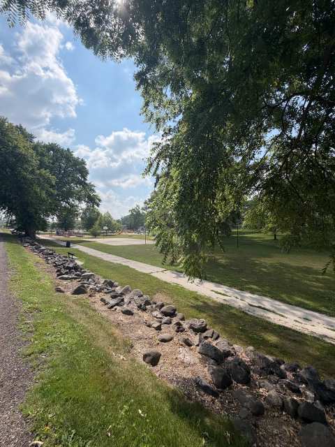
Plymouth keeps its green space close to home and its wilder ground a few miles out. The city's parks page lists 18 park sites, from City Park with its pool and sledding hill to a dog park on the Mullet River, and the city parks in Plymouth described below all sit within about 1.4 miles of downtown.
Beyond town, a paved trail, a mountain bike park, two fishing lakes and a state natural area are all within about 4.5 miles, and Parnell Tower is about 6.4 miles southwest. Distances in this guide are straight-line from downtown, measured from each listing's map pin.
Sponsored
City Park: pool, skate park and sledding hill
City Park on Suhrke Road, about 0.7 mile north of downtown, holds a lot in one place: the city lists the Aquatic Center, a band shell, a skate park, a sledding hill, a softball diamond and volleyball there.
The Plymouth Aquatic Center has a water slide, a small playground area, swimming lessons, adult swim times and water aerobics, and season passes are sold through the city website. Check the city's pool page for this year's opening dates before you pack the towels.
Plymouth Skate Park, with ramps and obstacles, is about 0.1 mile east of the park's main pin, and Tom & Jerry's Mini Golf, about 0.1 mile east on Suhrke Road, has two 18-hole courses and six batting cages. In winter the same park has the sledding hill.
Along the Mullet River
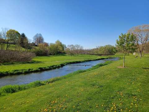
Downtown Plymouth lies along the Mullet River, and Stayer Junior Park sits beside it.
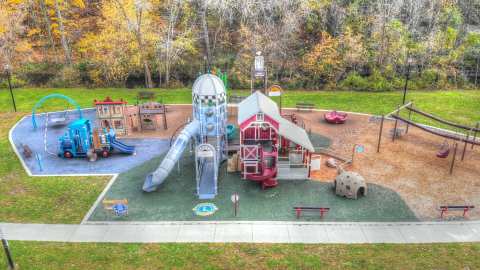
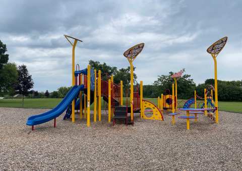
The playground at Stayer Junior is The Farm Playground, with silo and barn play structures, hay bale and corn stalk climbers and a kid-size zipline. With the dog park, the playground and the gardens in one place, it suits a family with a dog and an hour to spare.
South River Park on South River Boulevard, about 0.7 mile south of downtown, has a covered picnic table, a small playground, open grass and a bike rack, and the city lists a softball diamond. Its listing marks it as pet-friendly.
Neighborhood parks, fields and a disc golf course
The rest of the city parks are neighborhood spaces with a playground, a shelter or a field.
Southeast of downtown, two parks sit close together on Valley Road.
Lions Park is about 0.2 mile west of Lone Oak, with a concession stand and a field: its listing describes a baseball diamond, and the city lists a soccer field. Rotary Park on East Clifford Street, about 0.7 mile southeast, has volleyball, baseball and softball, a playground and charcoal grills.
The city list also includes smaller sites without listings here: Anton Park on Eastern Avenue for fishing and a picnic, Bade-Utility Park with a tennis court, Henry H. Huson Park with a walking trail, Bishop Park and Evergreen-Kensington Park with playgrounds, and Veterans Park at 603 East Mill Street. For team sports, Quit Qui Oc Athletic on Riverview Road, about 1.2 miles north, is a sports complex.
Trails: paved trail, mountain bikes and the Ice Age Trail
Three different trails start within about 4.4 miles of downtown, each built for a different kind of day.
Downtown Sheboygan is about 11 miles east of the Plymouth trailhead. The Sheboygan end of the trail belongs with Sheboygan parks and trails.
For a hike, the Ice Age Trail Greenbush trailhead on County Road P, about 4.4 miles northwest, has parking for about ten cars and a bench at the start. The segment rolls up and down without steep sections, on a surface of round rocks and gravel, and continues under Highway 23.
Lakes and a state natural area
North of town are the fishing and paddling lakes; west of town is a protected fen.
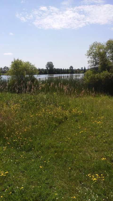
Crystal Lake, about 4.5 miles northwest, has a boat launch and parking, and Islands put it at 129 acres in May 2026.
The Little Elkhart Lake boat landing, about 4.1 miles north, is a public launch, and Mac's Pond, about the same distance north, has trails and fishing.
Further east, Wayside Park, about 4 miles northeast, gives public access to Orchard Lake and connects to walking and biking trails.
The DNR directions start south of Plymouth: take Highway 67 west from County PP for 2.7 miles, then County ZZ north for half a mile to a DNR parking area on the west side of the road. The listing calls the entry hidden, and the DNR page names no developed trail, so stay off the wet fen and watch for the poison sumac.
Parnell Tower and the state forest
For the long view, Parnell Tower on County Road U, about 6.4 miles southwest, is a 60-foot tower in the Kettle Moraine State Forest Northern Unit, reached by a 3.5-mile loop trail or a shorter direct path. Restrooms and picnic tables are by the main parking lot.
The Greenbush Recreation Area, about 6.1 miles west, has three swimming beaches, groomed ski trails and camping as part of the Kettle Moraine State Forest Northern Unit.
If you want to sleep near the trails, camping in Plymouth runs from Road America to Sundance Farm, about 1.9 miles from the Ice Age Trail trailhead.
Winter in the parks
Plymouth's parks keep working after the snow. The city lists Nutt Ski Hill at 750 West Main Street with skiing, rental facilities, restrooms and parking, and the Mill Pond Ice Skating Shack at 647 East Main Street with a warming house. City Park's sledding hill and the snowmobile season on the Old Plank Road Trail round out the cold months.
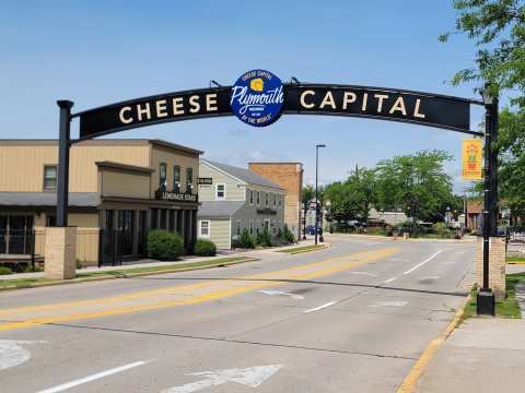
Ski hill and rink openings depend on snow and ice, so check with the city before you go. The rest of the town, from the cheese arch to Road America, is in things to do in Plymouth.
Frequently asked questions
Published September 28, 2026