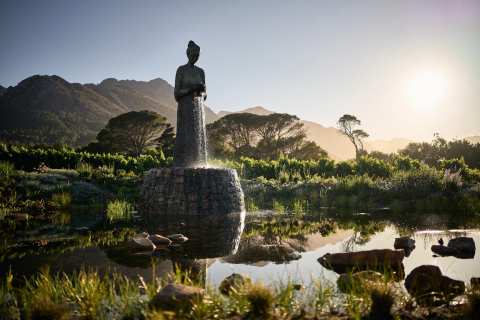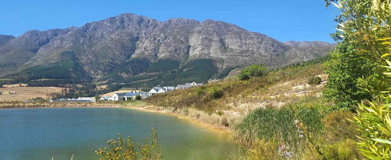
Current road status, the road's history, the lookout and the reserve on it.
The Franschhoek Pass is the mountain road on the R45 that links Franschhoek with Villiersdorp on the Overberg side. The pass has been closed to all traffic since 14 May 2026, so this guide starts with the road status and then covers where the road runs, how it got here and what sits along it.
Road status: closed since May 2026
Storm damage closed the Franschhoek Pass on 14 May 2026, after numerous slips and significant bridge damage. The closure covers every road user, including pedestrians, cyclists and motorcyclists, and drivers are stopped at the mountain end of the village and at the Theewaterskloof Dam junction.
Sponsored
The Department of Infrastructure's July 2026 update lists multiple slope failures and slips along the route and significant damage to the Du Toits River Bridge. That update projected reopening under traffic accommodation by the end of October 2026. The department now expects the pass to reopen over the builders' break, from mid-December to mid-January, with stop-and-go traffic control. Reopening depends on safety assessments, and the road stays closed if conditions are judged unsafe.
The wider upgrade of the road is scheduled for completion in July 2027. Dates on this road have moved before, so read the notice on the day you plan to drive, and again that morning.
The notice is at the Western Cape Government's Franschhoek Pass update.
What the Franschhoek Pass is
The pass runs between Franschhoek and Villiersdorp and carries the R45, and the provincial road number is MR191. It is also known as Lambrechts Road, and about 150 years ago the area was called Olifantshoek, or Elephants' Corner. The summit stands at 736 m above sea level.
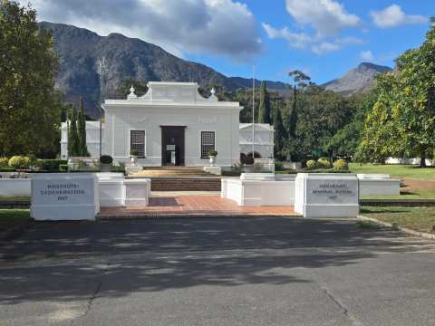
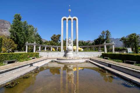
It leaves the village at the Huguenot Memorial Monument, where Main Road meets Lambrechts Road. From the Franschhoek end, the road climbs the mountain in a series of bends with views over the valley and the vineyards below. The full pass is about 13 km from Franschhoek to the Theewaterskloof Dam.
Cycling data sites list the Franschhoek-side climb at about 7.1 km, with an average gradient of 5.2% and a maximum of 7.3%.
A short history of the road
A crude road was first built over the mountain in 1819 by S.J. Cats for the Stellenbosch Landdrost, and it did not last. The old route is now a hiking path.
The road fell into disrepair in 1930, was rebuilt in 1933 and was rebuilt again in 1963, when it was tarred. That is the road drivers use today.
Why the pass closes
Storms on the Heritage Day long weekend in 2023 caused slips along the pass, and it was reopened to selected light vehicles before construction began. The 2023 and 2024 works involved soil nailing, a technique used to stabilise slopes, and the pass closed on weekdays from 8am to 5pm while that work was done.
The department described weather-related delays in 2026 and said the pass remained on its list of high-priority repair projects.
Because notices change with the seasons and the repair programme, treat any date you read, including on this page, as provisional until you confirm it with the Western Cape Government.
What the drive is like
Go slowly and keep to your side of the road, because the bends are tight and the shoulder drops away on the valley side. Near the top, the chances to turn around are few, so pull over at a clearing before you end up in Villiersdorp.
Take a camera and a jacket, since the wind and the temperature at the top are very different from the village. Come on a clear morning and the view is at its best, and the light is flat in cloud.
A circular route, once the road reopens
One suggested loop leaves Franschhoek on the R45 towards Villiersdorp, joins the R43 to Worcester and then the N1 towards Paarl. The loop returns to Franschhoek on the R301 or the R45. Treat it as a full day with stops, and confirm the pass is open before you set out. Until it reopens, the loop is not possible.
What else sits along the road
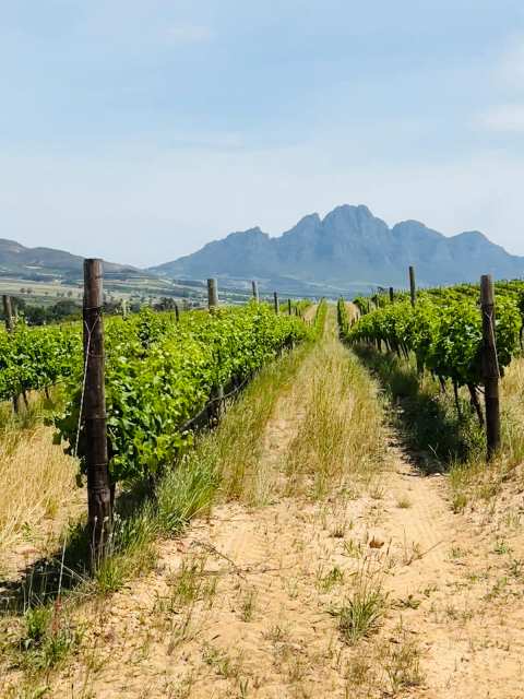
Wine estates sit along the same road, and the Winetrail guide to Franschhoek wine farms names them and says what each offers. We leave wine to that guide and keep this page to the road.
While the pass is closed
The pass connects Franschhoek with Villiersdorp and Grabouw, so the closure matters mainly to people coming from the Overberg and Theewaterskloof side, who are told to use alternative routes. If you are driving from Cape Town, Stellenbosch or Paarl, you reach the village on the valley road and never touch the pass.
The village does not depend on the road, and a day on foot is laid out in a one-day walking plan.
Rain is a common reason for slips, so rainfall month by month is worth a look when you pick your dates.
Tips for driving the pass
Check the official notice the day before and the morning of the drive.
Obey every sign and barrier, since the department has said that some roads that look safe may be damaged below the surface.
Drive in daylight and in dry weather, and fill the tank in the village before you leave.
Frequently asked questions
Published October 19, 2026