The rail trail through Kewaskum: where it is paved, where to park downtown, each stretch by the mile, and the winter rules.
The Eisenbahn State Trail is a 25-mile rail trail that links Eden, Campbellsport, Kewaskum and West Bend, and Kewaskum sits close to its middle: TrailLink's segment list puts the village 12 miles from the Eden end. It follows an old railroad line past farm fields and wetlands, it is open all year, and the DNR says no state trail pass is needed to use it.
Here is what the surface is like, where to park in the village, how the stretches break down and how the trail works once the snow comes.
Sponsored
How long is the Eisenbahn State Trail, and is it paved?
The DNR gives the length as 25 miles, with 5 miles of asphalt and 20 miles of crushed stone. TrailLink measures it at 24.3 miles, from Reagan Drive in Eden to 1300 Rusco Road in West Bend.
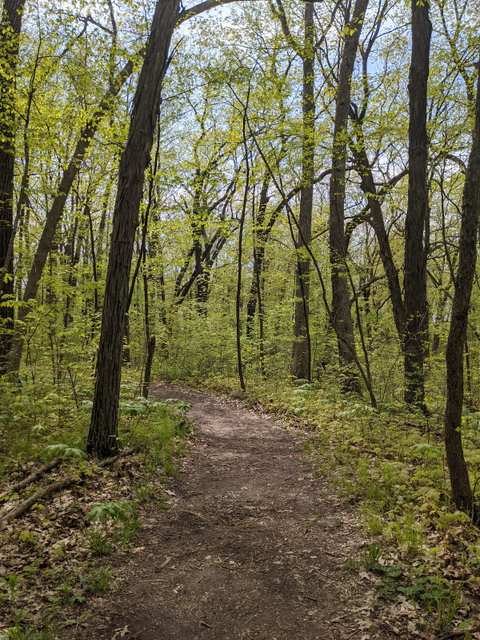
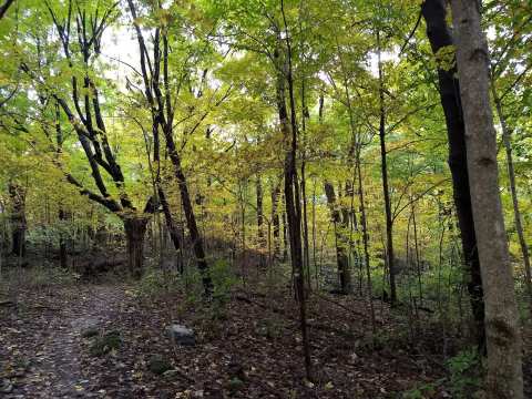
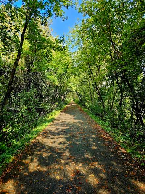
The pavement is at the West Bend end: TrailLink says the trail is paved from Barton Park south, shortly after it crosses the Milwaukee River. Riding north from Rusco Road in 2025, a Milwaukee Magazine writer found the pavement gave way to hard-packed dirt and gravel near the West Bend city limits, so the Kewaskum stretch is unpaved. If you ride north of West Bend, plan for stone rather than asphalt.
Where to park for the Eisenbahn in Kewaskum
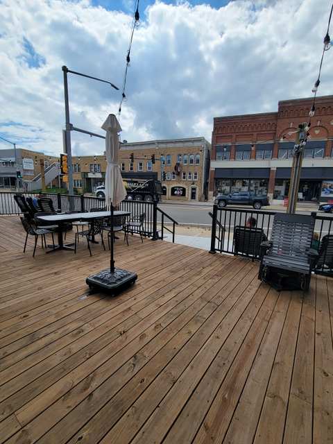
In Kewaskum, the DNR points to parking downtown, between Highway 28 and Second Street, right next to the trail.
At the north end, Milwaukee Magazine's 2025 rider found parking at Eden Community Park, the trailhead the DNR names for Eden.
The other trailheads the DNR lists are Eden Community Park at the north end, Fireman's Park in Campbellsport, and lots near Water and Washington streets in West Bend.
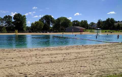
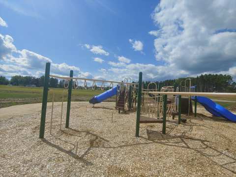
If the kids need a playground before the ride, Kewaskum Kiwanis Community Park is about half a mile west of downtown, with courts, ball diamonds and a summer pool.
The Eisenbahn stretch by stretch
TrailLink breaks the route into pieces: Eden to Campbellsport is 7.5 miles, Campbellsport to Kewaskum and the Washington County line is 4.5 miles, and Kewaskum to West Bend is another 4.5 miles alongside US 45. Those three add up to 16.5 miles; the rest runs through West Bend and south to Rusco Road.
From Kewaskum, an out-and-back north to Campbellsport is a 9-mile ride, and the run south to West Bend and back is about the same. Washington and Fond du Lac counties each look after the part of the trail that crosses them. For trail conditions, the DNR page lists the Washington County Parks Department at 262-335-4445 and the Fond du Lac County Parks Department at 920-929-3135. The DNR's general line, 1-888-936-7463, is answered from 7 a.m. to 10 p.m.
What you pass between Kewaskum and West Bend
For most of its length the trail keeps to the west side of the Kettle Moraine State Forest's Northern Unit, past glacial landforms. TrailLink describes farmland and ridge-top views with only occasional shade, so bring water on a hot day.
South of the village the trail runs beside US 45, and the Milwaukee Magazine rider passed the Sunburst ski area and crossed the Ice Age Trail just south of County H. TrailLink marks the same Ice Age Trail crossing near County Road H, where the national trail heads off toward the Kettle Moraine State Forest.
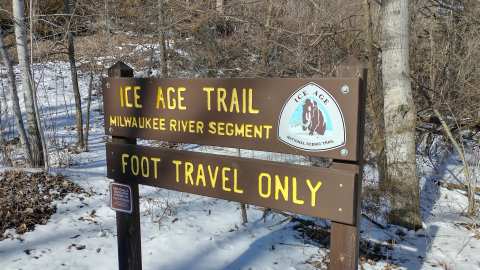
To swap wheels for boots, the Milwaukee River Segment parking area on County H is about 2.4 miles southeast of downtown.
That lot sits on the Ice Age Trail Milwaukee River Segment, which covers 6.9 miles in Washington County, with boardwalks, meadows and a tunnel.
It makes a fair turnaround point for a ride out of the village.
The West Bend end of the trail
At the south end, the Rusco Road trailhead is about 10 miles south of downtown Kewaskum in a straight line, and it is where the Milwaukee Magazine ride began.
In West Bend, TrailLink lists parking at Regner Park on North Main Street and at Riverside Park on Kilbourn Avenue, and the listing for Regner Park mentions a swimming pond in summer and an ice rink in winter.
A side trail near Barton Park leads to Lac Lawrann Conservancy, where TrailLink counts more than 200 recorded bird species.
Closer to downtown West Bend, TrailLink points out Barton Pond, which once powered gristmills and sawmills and is now a fishing spot, and the restored West Bend railroad depot, built in 1900 and renovated in 2009. Wikipedia says the trail crosses the Milwaukee River on three bridges near West Bend, and that a connection to the Moraine Park Technical College campus opened on September 4, 2014.
West Bend's own trails, including hiking the Ice Age Trail in West Bend, fill a second day at that end.
The Eisenbahn State Trail in winter
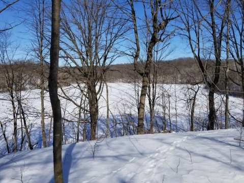
TrailLink says most of the trail north of West Bend is open to snowmobiles in winter. Its page also lists winter ATV use from December 15 to March 15, when the ground is frozen and the temperature is 28 degrees or lower, and both uses need a Wisconsin registration or a state trail pass; check with the county parks department before you go. If you walk it after a snowfall, expect to share it with sleds.
Why it is called the Eisenbahn
Eisenbahn means iron road, a nod to the railroad the trail replaced. Wikipedia says the Chicago and North Western built the line in 1871, the Fox River Valley Railroad bought it in 1988, and it was abandoned in 1999. The Washington County segment officially opened on April 28, 2006, and the State of Wisconsin owns the corridor. South of Rusco Road the rails are still in use: TrailLink says Canadian National runs trains in the corridor from there to Milwaukee.
Eating near the trail in Kewaskum
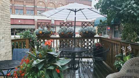
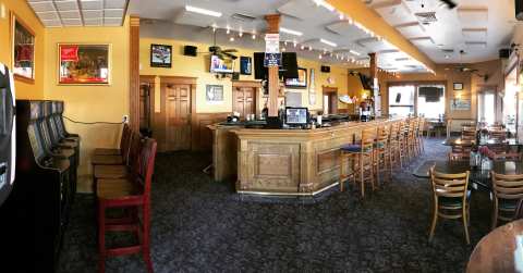
The downtown trail lot is off Highway 28, which runs through the village as Main Street, so lunch is close by. Kewaskum restaurants run from barbecue on Fond du Lac Avenue to fried perch out on County S.
After a ride, Fizzy Pop Ice Cream Shop on Fond du Lac Avenue does ice cream, lattes and fizzy drinks, per its listing.
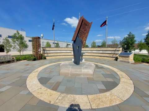
The rest of a day in Kewaskum can take in the 9/11 memorial, River Hill Park and the Main Street shops.
Frequently asked questions
Published September 14, 2026