Kewaskum is a village in the northern part of Washington County, in southeastern Wisconsin, where US 45 crosses Highway 28 on the Milwaukee River. If you are asking where is Kewaskum, Wisconsin, the short answer is about 7 miles north of West Bend and about 37 miles northwest of downtown Milwaukee in a straight line, and about 1.2 miles from Kewaskum Maple-Oak Woods, a state natural area inside the Kettle Moraine State Forest's Northern Unit.
It is a small place, home to 4,309 people at the 2020 census, and it sits at 935 feet above sea level. Here is the county question, the distances, the roads in, and what you will find when you arrive.
Sponsored
Which county is Kewaskum in?
Kewaskum is in Washington County, and the village boundary also reaches into Fond du Lac County to the north. Every one of its 4,309 residents lives in the Washington County part, according to the 2020 census figures on Wikipedia.
North of the village, the forest's Henry S. Reuss Ice Age Visitor Center and Mauthe Lake are listed under Campbellsport, about 8.7 and 6 miles away.
How far is Kewaskum from the nearby cities?
These are straight-line distances from the village center, measured from map coordinates; road miles run longer.
| City | Straight-line distance | Direction from Kewaskum |
|---|---|---|
| West Bend | about 7 miles | south |
| Campbellsport | about 9 miles | north |
| Fond du Lac | about 21 miles | northwest |
| Sheboygan | about 30 miles | northeast |
| Milwaukee | about 37 miles | southeast |
| Oshkosh | about 43 miles | northwest |
| Madison | about 67 miles | southwest |
| Green Bay | about 69 miles | north |
By road, the mapsof.net route planner puts Kewaskum to Milwaukee at about 45 miles. West Bend, 7 miles south, makes an easy pairing, and its things to do in West Bend fill a second day.
The roads into Kewaskum
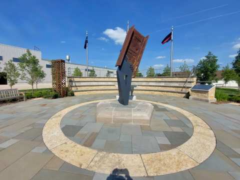
US 45 is the main north-south road through Kewaskum and Highway 28 the main east-west one, according to Wikipedia. US 45 runs through the village as Fond du Lac Avenue, where the grocery store, the library and the 9/11 memorial are.
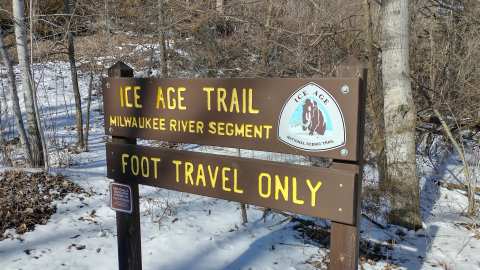
Highway 28 runs through downtown as Main Street, which is why Michaleno's Pizzeria lists its address as 250 Main St Hwy 28. County H is the road to know for the Ice Age Trail: the Milwaukee River Segment's gravel trailhead lot sits on it, about 2.4 miles southeast of downtown.
How Kewaskum got its name
The village is named for Kewaskum, a Potawatomi chief who led a band in the area and died between 1847 and 1850. Wikipedia gives the meaning of the name as turning back on his tracks, or retracing his steps.
The first settlers, the Barnes family, arrived in 1844, and in 1852 J. H. Myer settled on a horseshoe bend of the Milwaukee River, a spot first known as Myer's Mill. The Chicago and North Western Railway opened a Kewaskum station on its Milwaukee to Fond du Lac line in 1873, and Kewaskum incorporated as a village in 1895.
Today the Eisenbahn State Trail, a 25-mile rail trail, passes through downtown on its way between West Bend and Eden.
What Kewaskum is known for
Cookware is part of the village story: Adolph L. Rosenheimer founded the Kewaskum Aluminum Company here in 1919 to make aluminum pots and pans, and the business was renamed Regal Ware in 1951. The speed skater Jordan Stolz, a world champion and Olympic gold medalist, lives in the village, and the novelist Glenway Wescott was born here.
Local history runs deep in print, too: the Kewaskum Statesman printed its first issue on October 5, 1895, and the historical society has digitized its archive so it can be searched. The society's museum sits in River Hill Park, and its Early Farm Days, on the second Sunday of September, are a good way in.
Where to stay in and near Kewaskum
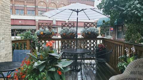
Downtown, Coffee Corner Bistro's website lists vacation rentals called Memorial View and Café Flat above and next door to the café, plus a third, Kewaskum Loft. For camping, the Kettle Moraine State Forest's Northern Unit has more than 350 campsites, including group, equestrian and backpack sites, and a vehicle admission sticker is required.
What you find when you get there
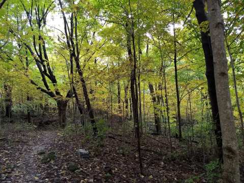
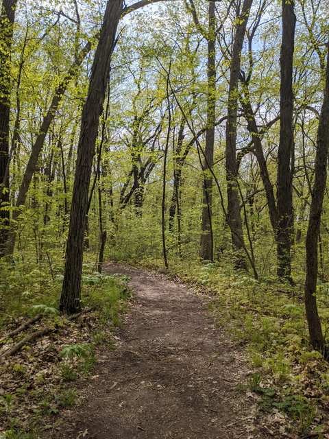
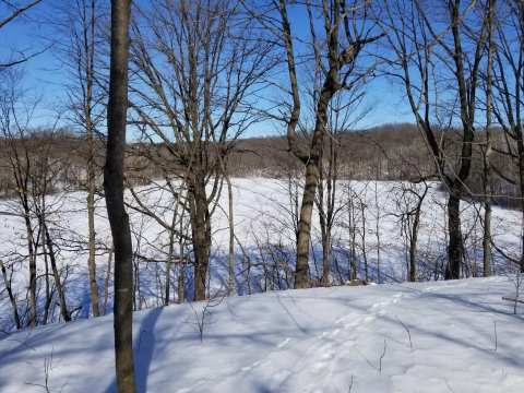
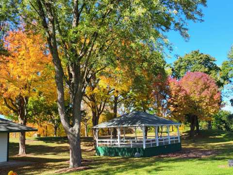
Two Ice Age Trail segments pass the village, and the Milwaukee River Segment is the longer of the two, at 6.9 miles in Washington County against 5.4 for the Kewaskum Segment. Downtown, River Hill Park has a kayak launch onto the Milwaukee River and the historical society museum.
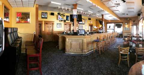
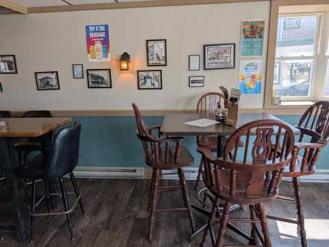
Food is mostly on Main Street and Fond du Lac Avenue, from smoked ribs to delivered pizza.
With Kewaskum's trails, parks, shops and winter ski hill on top, a weekend goes quickly.
Getting around once you are here
Downtown is small enough to walk, with the memorial, the cafés and the shops within a few blocks of the Main Street and Fond du Lac Avenue corner. For longer trips, the DNR points to Eisenbahn trail parking downtown, between Highway 28 and Second Street, and the trail runs alongside River Hill Park.
The trailheads and New Fane are all 2 to 3 miles out, so a car or a bike covers them. For a city day, Milwaukee is about 37 miles away, and the things to do in Milwaukee cover it.
Frequently asked questions
Published October 19, 2026