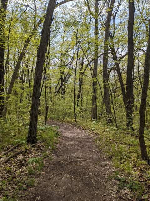
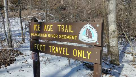
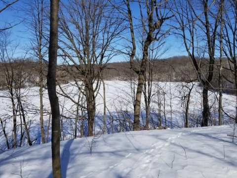
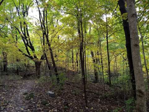
Kewaskum has two pieces of the Ice Age National Scenic Trail within about 2.5 miles of downtown, and either one starts from a roadside lot. The Ice Age Trail Milwaukee River Segment runs north into the Kettle Moraine State Forest's Northern Unit, and the Alliance lists the Sunburst Ski Area and several boardwalks among its highlights, while the shorter Kewaskum Segment climbs through light forest and fields with long views back over the village.
The Ice Age Trail Alliance covers both, with the West Bend Segment, in its West Bend trail community guide. Below are the lengths, the lots, the passes and what to expect underfoot.
Sponsored
The Milwaukee River Segment at a glance
From the County H lot, the 2018 Volkssport walks head south on the west side of the river toward the Otten Preserve, or cross to the east side and head north into the Northern Unit. Our listing describes moderate terrain with steady uphill and downhill stretches and wooden bridges, which suits a trail run or a walk.
Inside the Northern Unit the trail is rated moderate to difficult by the DNR, and about 31 miles of it run the length of the forest, with five rustic backpack shelters you can reserve. The Alliance's map marks Kettle Moraine State Forest Shelter 1 along this segment, along with the Milwaukee River Floodplain Forest State Natural Area.
Where to park for the Milwaukee River Segment
To reach it, the 2018 American Volkssport directions for this stretch leave Kewaskum south on US 45 and turn left onto County H, with lots on both sides of the road. A second lot, listed as the Milwaukee River Trailhead, sits about 2.3 miles southeast of downtown, and its listing mentions a shelter and a water pump on the trail nearby.
The same 2018 directions list no restrooms or water at the start lot and put seasonal restrooms and water at a shelter just up the trail, so fill bottles in town and check with the DNR before counting on the shelter. The Outbound, in an undated trip report, suggests the New Fane trailhead as an early water stop, about 1.1 miles round trip off the trail.
The Kewaskum Segment: a shorter climb with a view
The Kewaskum Segment is 5.4 miles, including 2.2 miles of connecting route, and the Alliance adds 2.5 miles of loop trails on the Roman and Mercedes Otten Preserve. The Outbound measures its point-to-point route at 5.76 miles with 505 feet of elevation gain.
Our Kewaskum Segment listing sits about 2.1 miles south of downtown and warns that the yellow trail can be muddy after wet weather. The Kewaskum Segment parking area, about 2.5 miles south, has white and yellow trails that climb to the base and summit of the Sunburst ski hill, with views over Kewaskum, according to its listing.
Sunburst itself says the hill borders the Ice Age Trail and that trail parking is on Ridge Road. Past the Kewaskum Segment the trail carries on south toward West Bend, and hiking the Ice Age Trail in West Bend picks up the story from there.
New Fane: loops, water and a connector
The trailhead has an open-air shelter you can reserve, and drinking water and vault toilets year-round, so New Fane is a reliable place to refill. Bike riders 16 and over need a state trail pass, and the DNR asks riders to stay off the singletrack in rain and for four to six hours after it stops.
Passes, rules and the rest of the forest
A vehicle admission sticker is required to enter the Kettle Moraine State Forest, so check whether the lot you use needs one. The Northern Unit covers about 30,000 acres of wooded hills and prairie, with more than 350 campsites and swimming at three beaches.
North of the trail, the Henry S. Reuss Ice Age Visitor Center near Campbellsport has an exhibit area and auditorium, about 8.7 miles north of Kewaskum. Mauthe Lake is about 6 miles northeast, and a day in the Kettle Moraine Northern Unit covers the lakes, the tower and the scenic drive.
A short side trip: Kewaskum Maple-Oak Woods
For a quiet half hour off the main trail, Kewaskum Maple-Oak Woods is a 42-acre state natural area about 1.2 miles southeast of downtown, inside the Northern Unit. Its two tracts hold sugar maple, red oak, white ash and basswood, with kettle depressions that fill with water in wet seasons and nesting wood thrush and scarlet tanager.
The DNR's directions are east on Highway 28 for 1.2 miles from US 45, south on South Mill Road for 0.8 miles to a small lot on the west side, then a 0.2-mile walk west through a pine plantation. The DNR lists no separate fee for the natural area (a forest vehicle sticker may apply); camping and fires are not allowed, and bikes are limited to designated trails.
Hiking the segments through the seasons
After wet weather, expect mud, especially on the Kewaskum Segment's yellow trail, so wear boots. June is the wettest month in Kewaskum, at about 4.5 inches of rain, and July the warmest, with an average high of 81.
In winter the DNR lists the Ice Age Trail and the New Fane trails among its snowshoe trails, and about 45 inches of snow falls in an average Kewaskum winter. The month-by-month numbers, and which trails suit each season, are in the Kewaskum weather guide.
Food and a bed after the hike
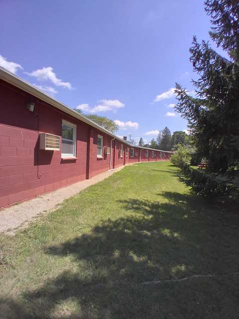
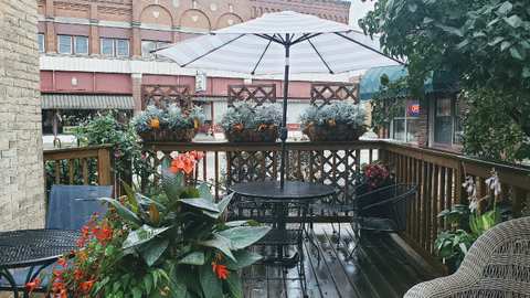
Downtown Kewaskum is about 2.5 miles in a straight line from either trailhead. Coffee Corner Bistro at 102 Main Street serves breakfast all day for an early start, and El Pig's Butt Bar-B-Q on Fond du Lac Avenue does smoked meats for the end of one.
Pizza, burgers and a supper club fill out the rest of Kewaskum's kitchens.
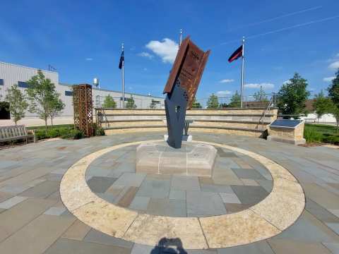
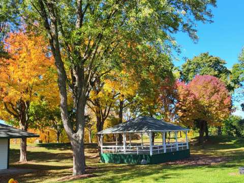
Back in the village, a day in Kewaskum itself can add the river parks and the 9/11 memorial.
Frequently asked questions
Published October 5, 2026