The Cliff Path from the New Harbour to the Klein River, plus the Fernkloof trails, maps and cycle route above town.
Hermanus has a walking route along the water and a mountain reserve behind the town, and you can do both in one visit. The Hermanus Cliff Path is almost 12 km long, and Fernkloof Nature Reserve above it has a 60 km network of trails. This guide sets out the Cliff Path from west to east, then the reserve, with straight-line distances from Village Square.
Whales pass the path from June to November, and the months and boat trips are set out in whale watching in Hermanus.
Sponsored
The Cliff Path from west to east
New Harbour to Gearing's Point
The path starts at Scotsmans Point, next to the New Harbour. The first stretch passes Rietfontein, where the marine reserve begins, and rock angling is allowed there but other disturbance of marine life is not. Further on you pass Fick's Pool, a tidal pool, and the hidden spring of Hermanus Pieters, the man the town is named after.
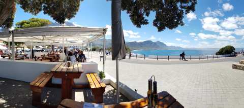
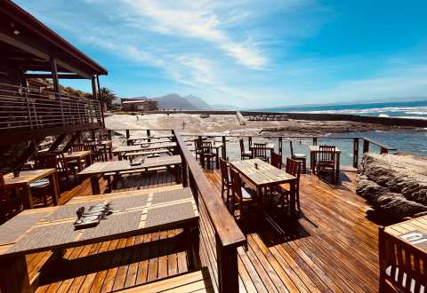
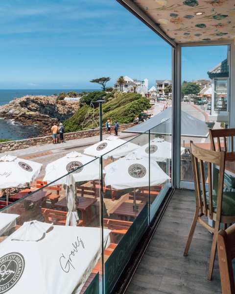
Fick's Pool Restaurant sits above the tidal pool if you want a stop. The Windsor Hotel overlooks a wheelchair-friendly walkway that leads to Gearing's Point and the old harbour.
Gearing's Point to Sea Road
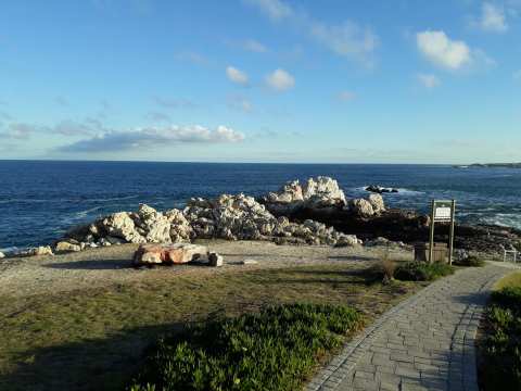
The Hermanus Biodiversity Walk runs between the spring and Gearing's Point. It is a self-guided route with stone seating and information signs, and it was set up in 2015. Bientang's Cave comes next, and it now houses a seafood restaurant. The Marine Hotel overlooks a public tidal pool just beyond it.
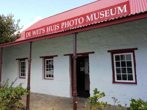
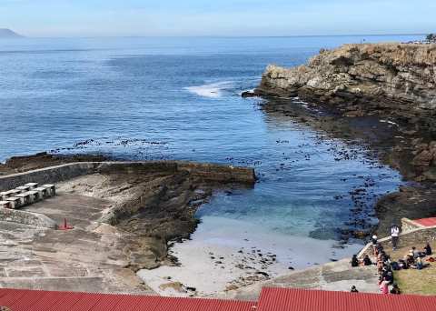
The museum in the old fishing harbour on Marine Drive is a short detour from this stretch, and the old fishing harbour is a National Monument. The listing shows the museum open from 9am to 4:30pm, and from 11am to 3pm on Sunday.
The break at Sea Road
The path passes Roman Rock and then stops at Sea Road, where private property reaches the high-water mark. It picks up again about 800 m later along Main Road, next to Mollergren Park, so plan to walk that gap on the road.
Sea Road to the Klein River mouth
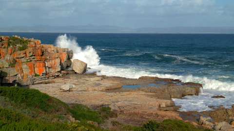
Past Mollergren Park the path reaches Mickey, a rocky islet where cormorants roost and fur seals swim nearby. Kraal Rock is known for fishing and for whale and dolphin watching, and Die Gang and Sievers Punt are nearby. Kwaaiwater has strong waves and a small shelly beach.
Beyond Kwaaiwater the Mossel River reaches the sea, and a Cape clawless otter uses the river. Then come the bathing beaches of Langbaai, Kammabaai, Voëlklip and Grotto. The path ends at Piet-se-Bos, with views of Die Plaat and, across the bay, Die Kelders.
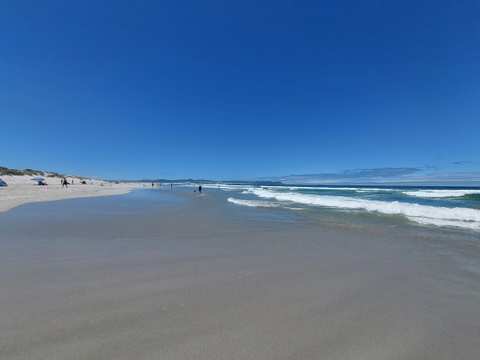
Grotto Beach is listed as a Blue Flag beach on Grotto Street, and it is named after a cave at its parking area. Voëlklip Beach is the other beach on the listings, in the suburb of Voëlklip.
Grotto Beach is about 4.1 km east of Village Square in a straight line, and Voëlklip Beach is about 3.6 km east. If you walk the whole path one way, arrange a lift back from the far end.
Fernkloof Nature Reserve
Printed maps cost R20 at the Fernkloof Visitors' Centre and the Fernkloof Nursery. Digital maps are on the reserve's website.
Trails worth knowing
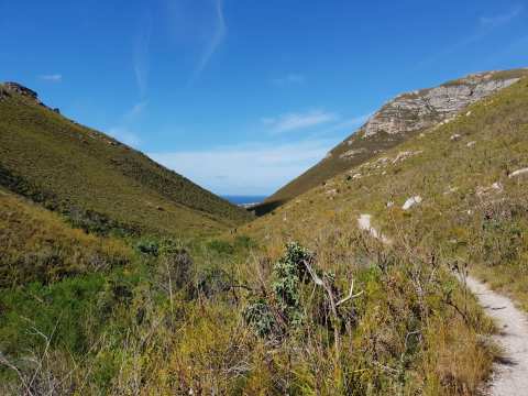
These notes come from a 2017 article by the Table Mountain Fund, so confirm details with the reserve. It describes the Waterfall Loop as a gentle valley walk into forest, with a waterfall that runs best in the rainy season. The Kanonkop route is a steady climb with wide views, and the Adder Ladder is a zig-zag descent. The Lemoenkop viewpoint is an amble back to the car.
To reach the Visitors Centre, follow Main Road along the coast towards Stanford and turn left into Fir Avenue. Drive past the Herbarium and the Nursery, and look for a small stone building. Inside, wild flowers are displayed in labelled jars with common and scientific names.
The same article mentions Galpin Hut on Galpinkop as overnight accommodation, so call the reserve to confirm it is still bookable. Plants you will meet include species of Erica and Lobelia, and the waterfall carries little water in a drought.
The reserve's website says guided walks are not available until further notice. Email the reserve office to find out whether they have restarted.
Cyclists get a 17 km circular route called the Hermanus Cycle Trail, graded intermediate. It runs mostly on jeep tracks with some single track and a little tar, and it is signposted for clockwise travel and can be joined at any point. Stay on paths that allow bikes.
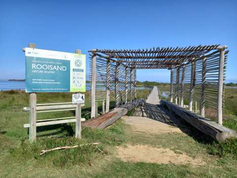
Rooisand Nature Reserve is the other reserve on the listings, and the listing shows it open from 7:30am to 7pm every day. It is about 16 km north-west of Village Square in a straight line.
Fitting a walk into a day
A walk is one part of a stay, and the rest is in what else to do around Hermanus.
The path and the reserve do not need a whole day each. A short section from the Biodiversity Walk to Gearing's Point and on to Bientang's Cave passes the old harbour, and the reserve suits a morning. Cafes and restaurants near the route are listed under where to eat along the route.
A bed within walking distance of the path is easy to find, and places to stay in Hermanus lists them by area.
Frequently asked questions
Published October 19, 2026